Merced River - South Fork - Hite Cove Fish Report for 4-11-2017
Hite Cove
Merced River - South Fork - Hite Cove - Mariposa County, CA (Mariposa County)
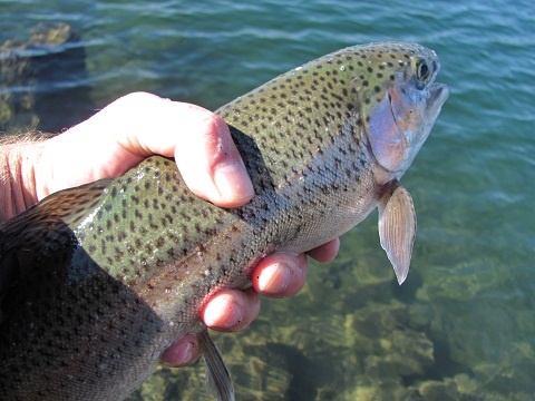
by Phil "Flip" Akers
4-11-2017
Website
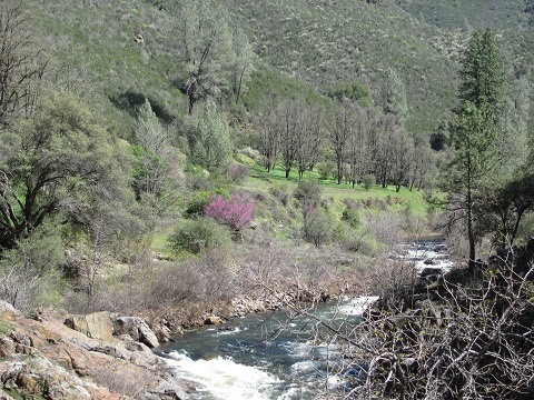
Revered by the Ahwahneechee, later congressionally designated as a Wild and Scenic River, the South Fork Merced originates on the southern slope of Triple Divide Peak in Yosemite National Park. Part of the Clark Range, and topping out at 11,611 feet, Triple Divide is an impressive intersection of watersheds where three major rivers – the San Joaquin, Merced, and South Fork Merced – begin their journeys. From this rugged headwater the South Fork travels 43 miles, cascading through Yosemite high country, and exiting the park at Wawona where it enters the Sierra National Forest. From here the translucent water tumbles down classic west-slope Sierra Nevada canyon country, eventually joining the main stem of the Merced at Highway 140 east of Mariposa and west of El Portal.
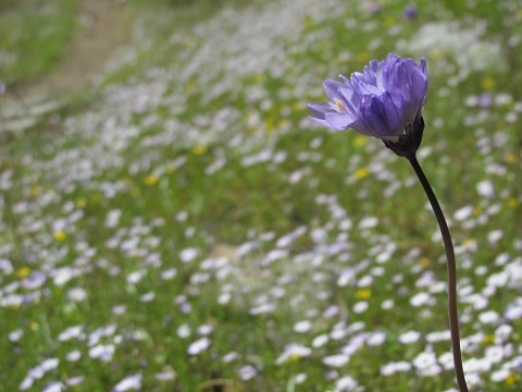
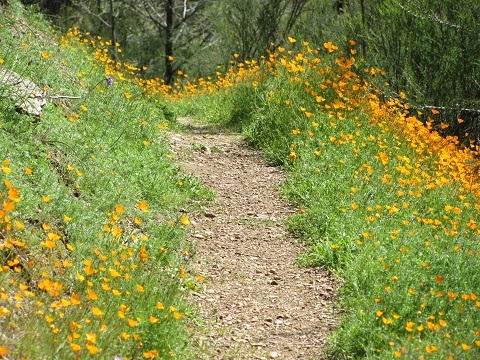
Three reasons lead to selecting and planning a trip up the South Fork Merced: the fishing – duh, the history, and thanks to all of the precipitation from this year’s El Niño, we’re projected to experience a once-in-a-decade “super bloom” of wildflowers. You see, this is arguably the best Sierra hike for wildflowers and home to over 60 different species, particularly poppies. Now is the perfect time to go.
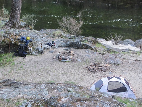
The South Fork Merced River Trail is 22 miles in length and one of the most historic trails in the Sierra. Initially used by the Ahwahneechee (a mix of Paiute and Miwok blood and the first Natives to inhabit Yosemite Valley) who migrated up-and-down the South Fork with the seasons, wintering in the lower section…where this particular trip chronicles. Starting at 1,450 feet/elevation, at the confluence of the Merced and its South Fork, I ventured solo upstream to Hite Cove, backpacking, fishing, and seeing what I can see. Like many other lower elevation destinations – Ohlone Wilderness, Henry W. Coe, Ishi Wilderness, and many others – summers are parched and skin-frying hot. But winter and early spring are ideal times to experience the natural wonders these areas have to offer.
So we’re off on a trip up the South Fork but before we leave, the trailhead has some powerful history. The trail begins behind Yosemite Redbud Lodge, the site of a trading post built in 1850 by James Savage. A “squaw man” of several wives, Savage scratched out a respectable living trading and mining gold, providing a handsome lifestyle for many loyal Native workers. But like many other similar stories, the Indians were crossed, causing them to rebel by killing miners, and burning down the trading post. This led to the Mariposa Indian War and a state-authorized militia known as the Mariposa Battalion – led by none other than “Major” Savage. They chased the Ahwahneechee up the canyons, burning their settlements along the way, destroying everything in their path, and in this process experienced Yosemite Valley. Savage and his Mariposa Battalion were the first white man to gaze at this iconic national wonder.
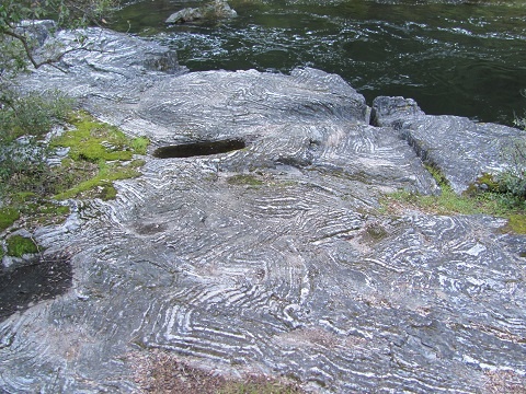
Leaving the trailhead, the first 0.75 mile of the trip deserves thanks to private land owners for access along their property. Now entering the Sierra National Forest, the next couple of miles of trail traverse a steep, rugged gorge ~200 feet above the river. After crossing two small tributaries, the trail descends to the river for another mile or so, reaching an interesting rock formation named Paisley Rock. The name is due to its resemblance to a dizzy fabric pattern dating back to the eleventh century and still popular on high-fashion catwalks.
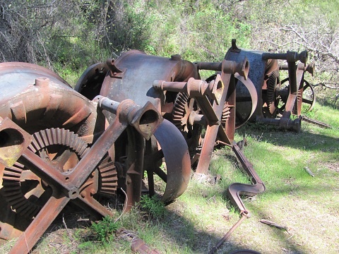
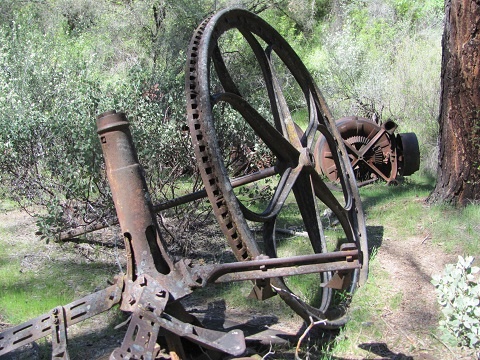
Continuing upstream another mile, still close to the river, the trail enters flatter, sandy terrain and some wooded canopy. You know you’re getting close to Hite Cove when you pass many reminders of the gold history here. Cone grinders, arrastras, and a large Pelton wheel are all somewhat displayed…a walk-through backcountry museum. Shortly, we pass what remains of a small Chinese labor settlement and rusted poles and cables from a suspension bridge that once spanned the river. And finally we witness the overgrown bones of what once was the richest gold mine in Mariposa county – Hite Cove.
In 1861 John Hite discovered gold here and it almost cost him his life after nearly freezing to death during an early season snowstorm. He was taken in by local Indians who saved his life but stole his heart. He fell in love and married the Miwok caretaker who helped save his life, and went on to build a small town here consisting of a two-acre garden, general store, hotel, two saloons, and a twenty-unit stamp mill. When his wife died, Hite married her sister, Lucy, and continued to live at Hite Cove. The rich gold vein made Hite a millionaire but he later lost a large chunk of that fortune in nasty divorce court proceedings with Lucy.
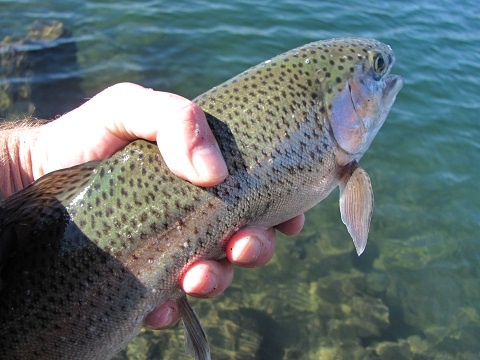
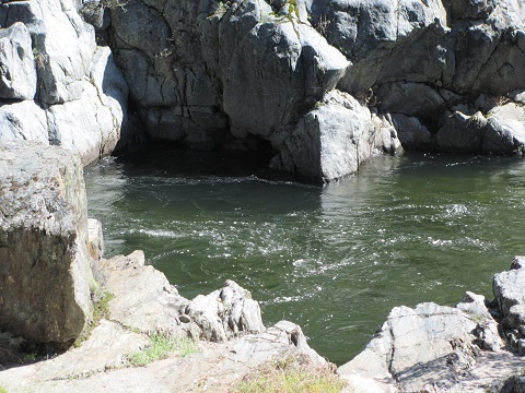
Now on to the fishing. I took both spinning and fly ensembles, but fly fishing was the only way to fish most of this water. The slower water and pools hosted prolific hatches, a flurry of activity on the surface but very little surface feeding going on. I tried parachute Adams and PMD for hours, in the most picture-perfect setting, for very little action. Best results were fishing wet flies with split-shot to get down in the strong current. A much closer to home river – Tuolumne – offers faster action and is also open year-around. But I had to see for myself. Although the fishing was challenging, I’m glad to have experienced the wildflowers and walk back in time.
Thinking about going? It’s a 9-mile roundtrip hike from the trailhead to Hite Cove. Following the trail upstream requires crossing the river at Hite Cove where Devil’s Gulch is 2.5 miles away. The Hite Cover portion of trail is the most popular mostly due to day-hiking wildflower photographers. You will loose this crowd after the first mile or so. I witnessed some very expensive cameras and tripods in the first mile. I didn‘t experience another person the remainder of the trip. Pooch is allowed and expected to be either on a leash or under firm voice control. A valid campfire permit is required for use of fire or stove. Please check for current fire restrictions. This trail actually closes during the summer months due to extreme fire potential. You will share the area with bears, mountain lions, rattlesnakes, and the poison oak is hard to avoid so plan accordingly.
To reach the trailhead. The Hite Cove trailhead is located on highway 140, 21 miles east of Mariposa. The trail begins behind Yosemite Redbud Lodge located on the south side of the highway. You need to park on the north side of the highway, directly across from the lodge.
Contact information and maps. Contact the Bass Lake Ranger Station in North Fork, CA for information and current fire restrictions. US Forest Service, Sierra National Forest, and EL Portal USGS topo maps all cover this area.
Phil "Flip" Akers is a diverse angler and outdoor adventurer. For over 25 years he has backpacked, packed llamas and fly-fished the Sierra Nevada and Cascade mountain ranges, venturing into the farthest reaches of our wilderness areas pursuing quality trout and solitude. He enjoys sharing his experiences including tips, techniques, outdoor cooking recipes, and storytelling. He is certified in wilderness first response and rescue including swiftwater rescue, technical rope and technical animal rescue. Phil Akers can be reached at akers209@att.net.
Photos
Next Report >
Next Report >
More Reports
My Outdoor Buddy (Nor Cal) Reports
for Monday, April 10th, 2017
: Big early Whiskeytown Kokanee
Shasta Lake: 2017-the year of the houseboat
Shasta Lake: Shallow Shasta Bass
4-2-2017
You went where to do what? That’s a question I get often after traveling for turkey hunting to a distant...... Read More

Website Hosting and Design provided by TECK.net
